Zara Sullivan · 27 September 2026
Alpine-adjacent Lake Sediment Layers Reveal Hidden Patterns in Regional Flood Risk Assessment Over Centuries
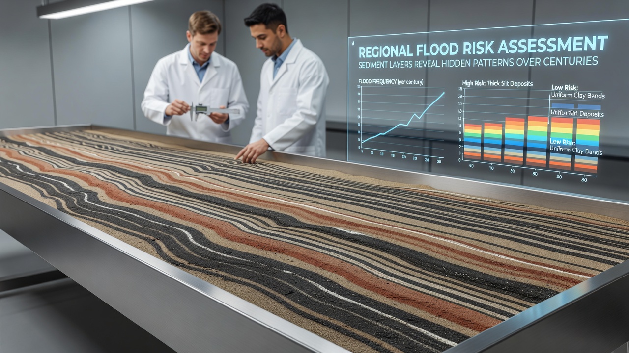
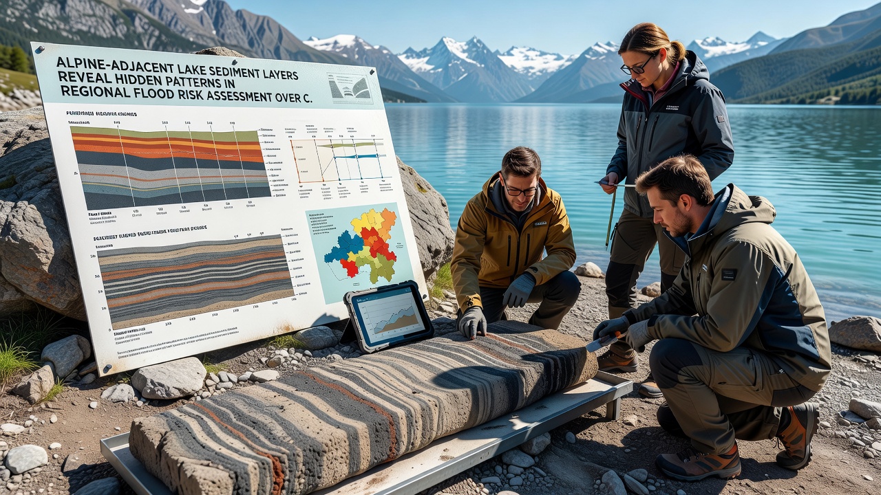
Sediment layers in lakes positioned near the Alps function as natural archives that record flood events spanning hundreds of years, and researchers extract these cores to map the timing and scale of past inundations with precision. Cores pulled from sites in Switzerland, Austria, and northern Italy contain alternating bands of fine silt and coarser debris that mark individual flood pulses, while the thickness and composition of each band indicate water volume and sediment transport during those episodes. Observers note that varve counting combined with radiocarbon dating establishes chronological sequences that extend back to the late medieval period in many basins, and this timeline allows direct comparison between documented historical floods and those preserved only in the sediment record. The method relies on identifying event layers that differ from background sedimentation rates, since floodwaters deliver distinct mineral signatures from upstream catchments. Geochemical analysis further distinguishes these deposits through elevated concentrations of elements such as titanium and potassium that trace specific source areas within the Alpine massif. Data from multiple lakes show clusters of thick flood layers during the 16th and 19th centuries, periods when instrumental records already note repeated high-magnitude events across the Danube and Rhine tributaries. Those same sequences reveal quieter intervals in the 18th century, when fewer coarse layers appear, and the contrast helps calibrate modern flood-frequency models that incorporate both instrumental and paleodata.Reconstructing Centennial-Scale Variability
Multiple research teams have synchronized sediment records across a network of lakes to produce regional composites that smooth out local catchment noise. These composites indicate that flood-rich decades often coincide with phases of increased autumn precipitation rather than spring snowmelt alone, and the pattern holds across elevations from 400 to 1200 meters. One study coordinated by institutions in the Swiss Mittelland compared lake data with tree-ring flood scars and found matching peaks around 1760 and 1876, while gaps in the scar record correspond to thinner sediment bands that suggest lower-magnitude events. Such cross-validation strengthens the reliability of sediment-based reconstructions and supplies the longer baseline needed for statistical estimation of rare, high-impact floods that instrumental series of 100 to 150 years cannot capture alone.
September 2026 marks the scheduled release of an expanded sediment database covering an additional twelve Alpine-adjacent basins, and the update will incorporate high-resolution X-ray fluorescence scans that resolve sub-annual layering in several cores. Preliminary results already circulated among participating laboratories point to an uptick in event-layer frequency after 1950 that exceeds the variability observed in the preceding two centuries, although attribution to specific drivers remains under analysis. The forthcoming dataset will feed directly into updated regional hazard maps produced by national hydrological services and will support recalibration of insurance loss models that currently rely on shorter observation windows.
Integration with Modern Risk Frameworks
National agencies responsible for flood defense planning now incorporate paleoflood quantiles derived from lake sediments when they set design standards for dikes and retention basins. In Austria the Federal Ministry for Agriculture, Forestry, Regions and Water Management has adjusted return-period estimates for several Inn River tributaries after sediment studies revised the 500-year flood magnitude upward by 12 to 18 percent. Similar adjustments appear in French Alpine departments where the Syndicat Mixte des Bassins Hydrauliques uses lake-derived records to stress-test evacuation routes and early-warning thresholds. These revisions alter cost-benefit calculations for infrastructure projects and shift priority toward measures that accommodate rarer but larger events documented in the geologic record.
European Environment Agency reports compile such case studies across member states and emphasize that sediment-based reconstructions reduce uncertainty in the upper tail of flood distributions. Parallel work in North America by the U.S. Geological Survey applies identical coring and dating techniques to lakes near the Rocky Mountains, and the methodological overlap allows direct comparison of flood regime behavior between mid-latitude mountain ranges. The resulting transcontinental dataset highlights that centennial-scale variability often exceeds trends captured in the last 70 years of gauged measurements, underscoring the value of extending observational records through natural archives.
Challenges in Data Interpretation and Model Coupling
Interpretation of sediment layers requires careful separation of flood signals from mass-wasting events triggered by earthquakes or landslides, and researchers therefore combine multiple proxies including diatom assemblages and pollen spectra that respond differently to these processes. Catchment land-use changes since the 19th century have also altered sediment delivery rates, and statistical models must account for this non-stationarity when they extrapolate modern flood magnitudes from older layers. Despite these complications, Bayesian hierarchical frameworks now routinely integrate lake data with discharge measurements and documentary sources, producing posterior distributions for flood quantiles that narrow credible intervals compared with gauge-only analyses.
Those who have examined cores from lakes at varying distances from main river channels observe that proximal sites capture more events while distal sites record only the largest floods, and the spatial gradient supplies an internal calibration for magnitude thresholds. This gradient approach has been adopted in ongoing projects that aim to produce harmonized flood atlases for the entire Alpine arc by 2028. The atlases will serve as reference layers for EU Floods Directive reporting cycles and will inform cross-border early-warning systems that currently operate on shorter historical baselines.
Conclusion
Sediment records from Alpine-adjacent lakes supply a multi-century perspective on flood occurrence that complements and extends instrumental observations. The patterns extracted from these layers revise estimates of extreme-event frequency and magnitude, and the revised figures feed directly into infrastructure design, insurance pricing, and emergency planning across several nations. Continued expansion of the coring network together with refined analytical techniques will further tighten uncertainty bounds and support adaptive management of flood risk in a region where both population density and economic assets continue to increase along valley floors.